July weather on par with long-term averages

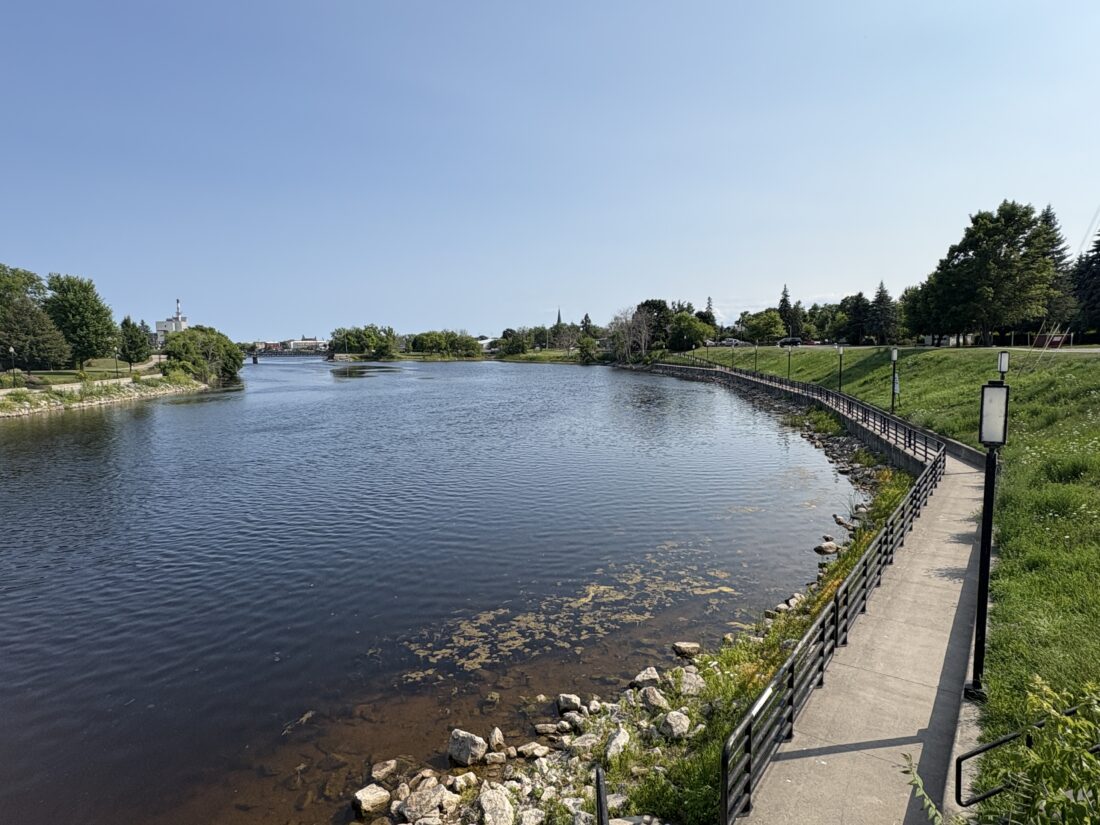
News Photo by Steve Schulwitz Blue sky and sunshine hover over the Thunder Bay River on Friday in Alpena. The weather for the first part of August is expected to be warm, dry, and much like it was in July.
ALPENA — The weather in Alpena last month was on par with the long-term averages for temperatures and precipitation.
Many of the days were hot, as there were 15 days in July when temperatures climbed to at least 80 degrees, including six days when the thermometer reached 90 degrees.
On some of those days the high humidity made the temperature seem hotter than what the thermometer was showing.
Warm temperatures are expected to continue for at least the first half of August, the National Weather Service says.
The warmest day last month was recorded on July 5, when it reached 92 degrees in Alpena, and the coldest temperature was recorded on July 22 when the mercury dipped to 44 degrees during the overnight hours.
For the month, the average high temperature was 80.7 degrees, which was only slightly above the 80.5 long-term average, while the average low temperature was 57.9 degrees, which was warmer than the 55.9 long-term average for July.
The overall average temperature last month was 69.3 degrees, which exceeded the historical average of 68.2 degrees.
Harold Dippman, a meteorologist for National Weather Service Meteorologist in Gaylord, said the smoke from the Canadian wildfires may have caused temperatures to cool some and without it, it may have felt a touch warmer during the day and the overnight hours.
He said thick smoke that settles close to the ground can cause temperatures to fluctuate between two and three degrees to the cool side.
In July, Alpena received a brunt of its precipitation in one day. On July 6, heavy downpours produced 1.34 inches of rain, which easily eclipsed the 0.99 record that was established in 1934. For the month, rainfall totaled 3.35 inches, which barely outpaced the long-term average for July, which is 3.20 inches.
Dippman said the second half of July was extremely dry in Alpena, but you didn’t have to go far to see other cities that received much more rain. He said the high levels of humidity created some storm systems, which dumped large amounts of rain in some areas, but left other areas untouched.
“The rain patterns were never widespread and usually resulted in pop-up thunderstorms,” he said. “Rain was limited in some areas, but then a place like Rogers City saw more than their fair share of downpours. Some areas of Northeast Michigan received a lot of rain and others nearby didn’t.”
For months last year and early in 2025, much of Northeast Michigan was classified as being in severe drought. Dippman said winter rain and snow helped to lower the drought and the ice storm earlier this year produced enough precipitation to erase the drought altogether.
“The ice storm helped in that regard,” he said. “The amount of ice the area had would have equated to between two and five inches of precipitation if it was all rain and that helped to send the drought away.”
However, with the dry weather from last month, and little change of significant rain for the next 10 days or so, Dippman said he couldn’t rule out drought creeping back into the area, if the weather pattern doesn’t change and produce more rain.
For the next couple weeks, Dippman said, the weather in the Alpena area will pretty much mirror that of July. He said there will be a few days in the mid-70s and then a rush of warm air will push temperatures up once again.
“It will be dry and warm until later this week, but as we move forward and get closer to the middle of the month, it could rise back up into the high 80s or low 90s,” he said. “That could also, once again, produce pop up thunderstorms.”
Steve Schulwitz can be reached at 989-358-5689 or sschulwitz@TheAlpenaNews.com. Follow him on X @ss_alpenanews.com.


