Maps help us navigate challenges
In the community, making a difference
“Things fall apart; the center cannot hold; mere anarchy is loosed upon the world.” — William Butler Yeats’ poem, “The Second Coming.”
The colored, patterned maps in the news are info-graphics that brings to mind the words from Charles Dickens’ novel, “A Tale of Two Cities,”
“It was the best of times, it was the worst of times,” a reminder that living in the present is something more than ordinary. The year 2020 is a leap year, in which there will be a census, presidential election, and pandemic, COVID-19, the coronavirus. Mapping will play a significant role in understanding and grappling with the challenges of the day.
The use of maps dates to 300 B.C. in Mesopotamia — for centuries, maps were renditions of the known, embellished through art. In 1824, naturalist Alexander von Humbolt, a “visual thinker,” illustrated the volcano, Chimborazo in Ecuador, correlating plant life with the change in elevation. His work demonstrated that geography, climate, nature, and the activities of mankind are interconnected, that through maps an understanding of dynamics could develop. Today, Geographic Information System (GIS) development, takes mapping beyond cartography, by combining all information relevant to an issue in one place.
“Think of it as like tracing all regular Interactions in the video game ‘SimCity’.” — Ana Pastore y Piontti, Research Science Institute, Northeastern University.
On Dec. 31, 2019, it was reported to the World Health Organization that dozens of cases of a “novel” virus had been identified in Wuhan, China. Based on confirmed cases, using characteristics of the virus, programs can connect the dots by incorporating social statistics and interactive opportunities, using census and travel data. Modeling can then be done by locality, region, or any other administrative unit.
“Redistricting is the purest form of brass knuckle politics.” — Anonymous.
Every 10 years a census is taken and the political battle of drawing the boundaries begins. In the past it has been a slug fest — using maps as tactical left and rights to gain advantage, there is a strong correlation between demographics and voting blocs. In 2018, the Michigan Constitution was amended to create an Independent Citizens Commission to complete the task.
Plotting direction involves risk. On May 9, 1926, Admiral Richard E. Byrd and his co-pilot Floyd Bennett, were recognized as the first to fly over the North Pole. Re-creation of the historic flight indicates he missed the mark by 80 miles, probably due to mistakes he made in calculating his position. The Global Positioning System and other technologies have reduced the chance of error.
As a society, heavy reliance is placed on the use of electronic devices for direction and, in most cases, reasonably so. The most direct route works, but sometimes being a little old fashioned can be rewarding. A vacationer who searches for a route to Mackinac Island will be directed to I-75, missing out on experiencing Heritage Route US-23 Pathway to the Sunrise Side, the alternative would have been apparent on a printed map. To navigate the year 2020, it’s a good idea to be a little dated and use common sense.
“Nothing that we do is done in vain. I believe, with all my soul, that we will see triumph.” — Charles Dickens, “A Tale of Two Cities.”
Lifestyles
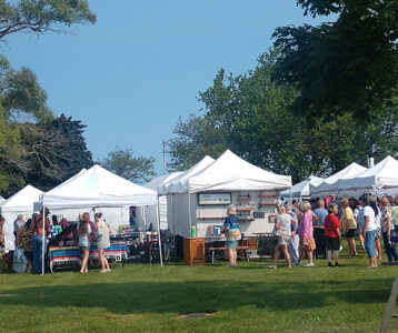
48th Art on the Bay this weekend in Alpena
SUNRISE SIDE BULLETIN BOARD — July 18
Community canine event today Today, Calia's EmPURRium at the Water Street Commons will be hosting Reborn Rescue's ...

Searching for nectar
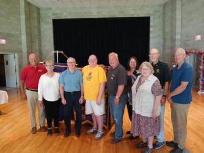
AHS Class of 1965 enjoys 60th reunion
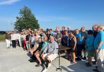
Reunion Roundup — July 17
AHS Class of 1962 reunion July 26 The Alpena High School Class of 1962 will host their reunion on Saturday, July ...