Use interactive map to find nearby nonmotorized trails
Sometimes you just need to hit the trails — for a run, a ride, or a mental or physical reset.
No matter how Michigan’s trails call to you, the Michigan Department of Natural Resources wants to make it easy to find perfect trail escapes all over the state.
The department manages more than 4,600 miles of nonmotorized trails, offering plenty of opportunities for horseback riding, mountain biking, hiking, cross-country skiing, paddling, and other exploring. Next time you’re looking for a place to lace up your shoes, drop in a kayak or saddle up your horse, check out the DNR’s interactive map of nonmotorized trails. With the map you can:
∫ Search for a trail by name or location.
∫ Find maps, trailheads, campgrounds and other amenities.
∫ Turn layers (fat-tire biking, water trails, linear trails, etc.) on and off to find specific resources.
∫ See satellite imagery, roads and topography.
Learn more about this map and all DNR-managed trail resources at Michigan.gov/DNRTrails.
Michigan News
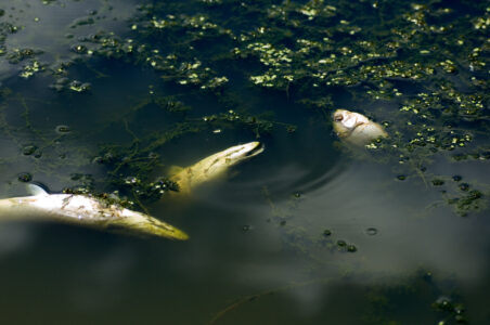
During spring thaw, natural fish kills may be common
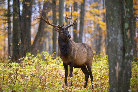
Michigan mulls changes in elk hunt regulations
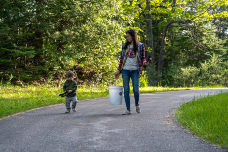
Tight lines and good luck, 2026 fishing season open
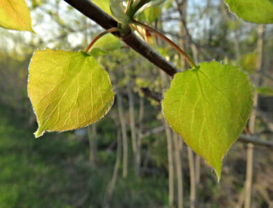
Popples and Aspens

MDHHS recommends early measles vaccine doses in areas of the state with possible community transmission