‘Never seen weather more unpredictable’
Fast-warming temps affect lake levels, weather swings in region

News Photo by Steve Schulwitz A strong wind out of the east on Monday created large waves in Thunder Bay and flooded the pier at Blair Street Park in Alpena. High water levels are a product of little evaporation and a continuing increase in ice cover on the Great Lakes.
ALPENA — The average person in Northeast Michigan may not notice it, because it has been happening slowly for more than 100 years, but the average temperature in the region has gradually increased by nearly 4 degrees from 1895 through 2018, and it’s continuing to climb.
Those figures, compiled recently by the Washington Post with data from National Oceanic and Atmospheric Administration’s Climate Divisional Database, show Northeast Michigan is one of the fastest-warming areas around the nation.
Four degrees may not seem like a lot, but, for a fragile environment, even the slightest weather trend can cause issues, weather experts said.
In the last two years alone, the Alpena area has seen sweeping swings in weather, from one extreme to another. Last year, the area was in a moderate drought. Six months later, record-low temperatures of 30 degrees below zero — before wind chill factored in — were recorded.
Those swings are having an impact, officials said.
They make it difficult for farmers to forecast when to seed their fields and care for them afterward, said Christian Tollini, an agriculture educator with the Michigan State University Extension office.
“It impacts the yields from the farms and makes it difficult to manage a crop,” he said. “Some of these farmers have been through 30 or 40 growing seasons, and they are saying they have never seen the weather more unpredictable. Weather is swinging from one end of the spectrum to the other in a short period of time, and we are learning to adapt to these challenges, because, if we don’t, we won’t be able to stay in business.”
National Weather Service Meteorologist John Boris said the warming trend, coupled with a few months of harsh winter, impacts the environment in several ways, especially the Great Lakes, where the intermingling of warm water and cool air determines how much ice forms on the lakes, the amount of lake-effect snow we receive, and the level of water that is drawn from the lakes via evaporation each year.
He said much of the evaporation from the lakes comes in the fall and winter, when the water is warmer than the air. He said the amount of ice on the Great Lakes the last few years has stalled evaporation, helping to push water levels higher when the thaw occurs.
“We have been seeing the lakes freeze completely or nearly so for the last several years, and that prevents the evaporation, and we haven’t got the evaporation that we typically do,” Boris said. “If we have a warmer winter, we will get more evaporation. Then it melts, the snow thaws, and we get the rain in the spring and it all runs down toward the Great Lakes. That is what we are seeing now.”
There typically isn’t much evaporation during the summer, but there has been less the last few years. Boris said the daily low temperatures recorded overnight have stayed warmer than average the last few years. That means water temperatures remain cooler than the air, producing little, if any, evaporation. Ultimately, that means water levels stay high.
Andrew Gronewold, an associate professor at the University of Michigan School for Environment and Sustainability, agreed with Boris’ assessment. He said more studies are being done to determine the number of lake-effect snow events taking place, as well as how much snow those events produce. Gronewold said that is important, because large amounts of snow fall in such events can impact water levels, which increases chances of localized flooding.
He said weather patterns also show that areas are seeing more precipitation during warm weather months, which impacts water levels.
“We are seeing more storms and they are getting stronger in intensity,” he said. “We aren’t just getting rain, but often large amounts of it at one time. If weather patterns continue on this track, we believe we can expect this to continue and possibly intensify further.”
Steve Schulwitz can be reached at 989-358-5689 at sschulwitz@thealpenanews.com. Follow him on Twitter @ss_alpenanews.com.
Local News
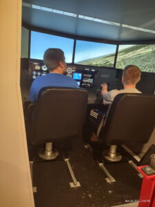
Learning to fly

Defense motion to suppress evidence denied in Wardlaw case
Art on the Bay
ALPENA - It is that time again. The Thunder Bay Arts Council's 49th Annual Art on the Bay is scheduled for July 18, ...

Running a mile
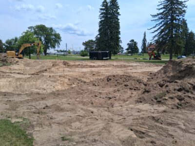
Construction begins on education project at Alpena’s Duck Park