Cold, cold, and more cold
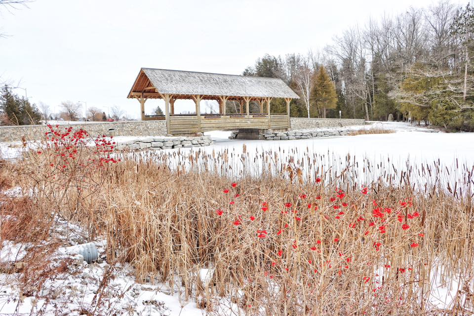
Photo by Karen Farrell The wooden bridge at Duck Park is a background to snow, ice, and tiny red flowers in this photo submitted to The News last week. Northeast Michigan was below normal in terms of temperatures and also had above average snowfall.
ALPENA — It should come as no surprise that January was much colder than the long-term average and received more snow than normal. It also isn’t shocking that the snow accumulation also surpassed the norm.
The month started out unseasonably warm, but after a snowstorm and a lengthy blast of Arctic air moved into the area, this winter is shaping up to be one the area hasn’t seen in years.
A daily record for lowest recorded temperature was set on Jan. 24 at -18 degrees. The previous record was -17 degrees.
January was overall colder than normal with an average high of 23.8 degrees and an average low of 10.5 degrees. The normal high temperature in January is 28.1 and the low is 11.9.
National Weather Service Meteorologist Nicole Sprinkles said that the average temperature for January was looking to be above normal at the beginning of the month, but the cold temperatures at the end of January put the overall average below normal.
During that warmer period on Jan. 9, a high of 53 degrees was recorded in Alpena, setting a record high for that day. The previous record was 46 degrees.
The warm weather was caused by a jet stream pointed directly to the Alpena area, bringing warm air that caused the record high on Jan. 9, Sprinkles said.
The cold temperatures at the end of the month were brought in by arctic air from Canada.
On Jan. 5 a record 5.5 inches of snow fell, setting yet another daily record in January. The previous record was 3.8 inches. That figure is the most it snowed for any day this January, the second most being 5.4 inches on Jan. 10.
Overall snowfall accumulated to 24.9 inches, higher than the normal 19.3 inches. Snow depth reached its peak on Jan. 5 at 9 inches.
Sprinkles said that the snowfall was caused by a trough, which is an elongated area of relatively low atmospheric pressure. A northwest flow brought colder temperatures that caused lake effect snow, she said. Sprinkles said that troughs are a typical weather pattern in January.
The outlook for February does not appear to be any warmer than January so far.
Sprinkles said that in February it looks like slightly below average temperatures in the mid to upper 20s. Precipitation levels will be around the normal amount as far as can be predicted.
Temperatures are expected to climb into the twenties this week before the Arctic air from up north returns.
Local News

Cold, cold, and more cold
Road closure today in Alpena Township
Willowdale Drive, between Ferncliff Drive and Pebble Street, in Alpena Township, will have intermittent road ...

A new otter friend

Zonta donates to Breast Health Fund at MyMichigan Medical Center Alpena
Alcona County police update
Recent actions taken by law enforcement agencies in Northeast Michigan. This has been only lightly edited. ALCONA ...
Busy month at the Alcona County Library
The Alcona County Library released its events for this month and it is going to be busy and there will be something ...