Hot and cold: August temperature extremes
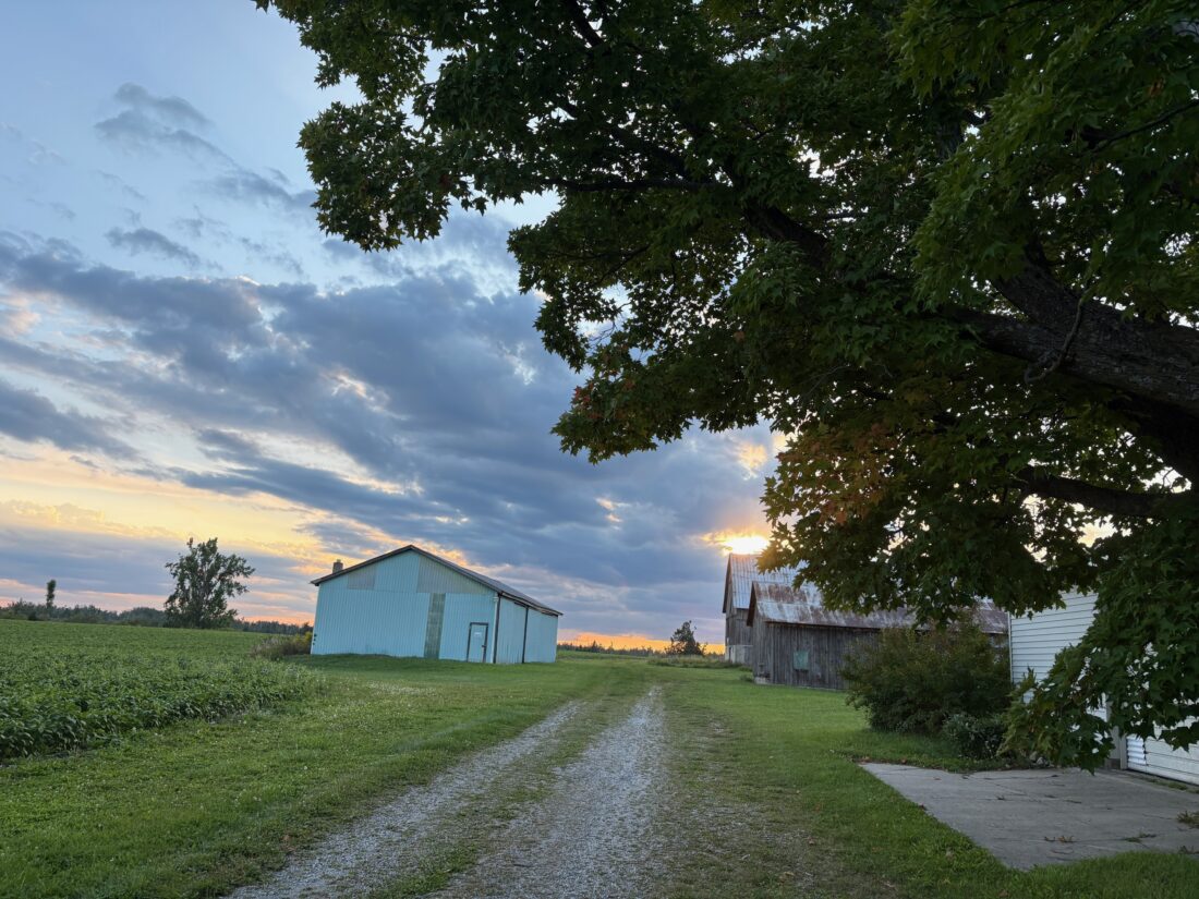
News Photo by Kayla Wikaryasz On Tuesday, leaves on a tree in Posen are seen beginning to turn colors.
ALPENA — The weather in August was on par with the long-term averages dating back to the early 1900s, preliminary data from the National Weather Service shows.
Last month, there were 14 days when temperatures climbed to 80 degrees or warmer, and two of those days, thermometers rose to 90 degrees or more.
Cooler temperatures blanketed Northeast Michigan later in the month, which made the weather seem more like fall than summer. The chilly weather is expected to hang around for a while, but more warm weather is expected, too.
The hottest day of the month was 91 degrees on Aug. 9. The average high temperature for last month was 77.7 degrees, which was just shy of the 78.8 long-term average.
For the first three weeks of the month, warm temperatures dominated, but for the last week or so, a system of cold Canadian air settled into the area, which drove temperatures down. Temperatures in the mid-60s were common, and overnight temperatures dipped into the low 50s and even the 40s in some areas.
The lowest temperature recorded in Alpena last month was 40 degrees on Aug. 27 during the early morning hours.
The cool air negated the heat early in the month and as a result, the average overall temperature for August was 66.2 degrees, which was a tad lower than the 66.6 long-term average.
Sean Christensen, a meteorologist for the National Weather Service in Gaylord, said the data doesn’t really tell the entire story about the month of August. He said extreme drops late in the month don’t paint a clear picture of what the weather was really like.
“Sometimes, the averages don’t always reflect what actually occurred,” he said. “For the most part, it was hot, but the unseasonable cold really pushed the averages down quickly. The numbers, in this case, don’t really tell the entire story.”
The amount of precipitation Alpena received also mirrored the long-term average for August. For the month, Alpena received 3.60 inches of rain, which was about a half an inch more than the long-term average.
A brunt of the rain came in four downpours. On Aug. 19, Alpena received an inch and a half of rain and on Aug. 7, the area received just a touch over a half an inch. There were two days when about a quarter of an inch fell in Alpena.
For the balance of this week, temperatures are forecasted to drop again and there is rain expected on several days.
From Thursday through Sunday, temperatures are not expected to climb out of the 50s and will dip into the 40s during the evening and overnight hours.
Rain is expected today, as well as Thursday and Friday.
Christensen said the cool air is expected to linger in the area, but a warmup is expected later next week. He said people who like warm weather should take heart in the fact that more summer-like days are still in the cards.
“There is still plenty of time until we get sustained fall or winter weather,” he said. “We will still see days in the 70s and maybe 80s this month and maybe into October.”
Still, it is clear autumn is on Northeast Michigan’s doorstep. You don’t have to drive far outside of Alpena to notice a touch of color on some of the trees. Christensen said the leaves are beginning to change a little because the recent shift in the weather made it ideal for the leaves to begin to change.
“It’s not really surprising to see a little activity with the leaves because of the low we had at night recently,” Christensen said. “That and it has been dry, which is what usually jumpstarts the color change. Still, I think it is going to be a while before they get anywhere near their peak.”
Steve Schulwitz can be reached at 989-358-5689 or sschulwitz@TheAlpenaNews.com. Follow him on X @ss_alpenanews.com.
Local News
Gov. Whitmer announces road projects in Alpena and Montmorency counties
On Tuesday, Governor Gretchen Whitmer announced that the Michigan Department of Transportation (MDOT) will begin ...
Starlite Beach Splash Pad closed for season
ALPENA — The City of Alpena stated in a press release on Tuesday that the Starlite Beach Splash Pad will be ...

Lake Trout Restoration in Thunder Bay lecture Sept. 18

SkellaFit Powerlifting excels at World Championships
Alcona County Sheriff’s Office reports single-vehicle fatal crash
On Sunday at 7:45 p.m., deputies from the Alcona County Sheriff's Office responded to a call of a one-vehicle ...