Hurricane forecasters are losing 3 key satellites ahead of peak storm season − a meteorologist explains why it matters
About 600 miles off the west coast of Africa, large clusters of thunderstorms begin organizing into tropical storms every hurricane season. They aren’t yet in range of Hurricane Hunter flights, so forecasters at the National Hurricane Center rely on weather satellites to peer down on these storms and beam back information about their location, structure and intensity.
The satellite data helps meteorologists create weather forecasts that keep planes and ships safe and prepare countries for a potential hurricane landfall.
Now, meteorologists are about to lose access to three of those satellites.
On June 25, 2025, the Trump administration issued a service change notice announcing that the Defense Meteorological Satellite Program, DMSP, and the Navy’s Fleet Numerical Meteorology and Oceanography Center would terminate data collection, processing and distribution of all DMSP data no later than June 30. The data termination was postponed until July 31 following a request from the head of NASA’s Earth Science Division.
I am a meteorologist who studies lightning in hurricanes and helps train other meteorologists to monitor and forecast tropical cyclones. Here is how meteorologists use the DMSP data and why they are concerned about it going dark.
Looking inside the clouds
At its most basic, a weather satellite is a high-resolution digital camera in space that takes pictures of clouds in the atmosphere.
These are the satellite images you see on most TV weather broadcasts. They let meteorologists see the location and some details of a hurricane’s structure, but only during daylight hours.
Hurricane Flossie spins off the Mexican coast on July 1, 2025. Images show the top of the hurricane from space as day turns to night. NOAA GOES
Meteorologists can use infrared satellite data, similar to a thermal imaging camera, at all hours of the day to find the coldest cloud-top temperatures, highlighting areas where the highest wind speeds and rainfall rates are found.
But while visible and infrared satellite imagery are valuable tools for hurricane forecasters, they provide only a basic picture of the storm. It’s like a doctor diagnosing a patient after a visual exam and checking their temperature.
Infrared bands show more detail of Hurricane Flossie’s structure on July 1, 2025. NOAA GOES
For more accurate diagnoses, meteorologists rely on the DMSP satellites.
The three satellites orbit Earth 14 times per day with special sensor microwave imager/sounder instruments, or SSMIS. These let meteorologists look inside the clouds, similar to how an MRI in a hospital looks inside a human body. With these instruments, meteorologists can pinpoint the storm’s low-pressure center and identify signs of intensification.
Precisely locating the center of a hurricane improves forecasts of the storm’s future track. This lets meteorologists produce more accurate hurricane watches, warnings and evacuations.
Hurricane track forecasts have improved by up to 75% since 1990. However, forecasting rapid intensification is still difficult, so the ability of DMPS data to identify signs of intensification is important.
About 80% of major hurricanes – those with wind speeds of at least 111 mph (179 kilometers per hour) – rapidly intensify at some point, ramping up the risks they pose to people and property on land. Finding out when storms are about to undergo intensification allows meteorologists to warn the public about these dangerous hurricanes.
Where are the defense satellites going?
NOAA’s Office of Satellite and Product Operations described the reason for turning off the flow of data as a need to mitigate “a significant cybersecurity risk.”
The three satellites have already operated for longer than planned.
The DMSP satellites were launched between 1999 and 2009 and were designed to last for five years. They have now been operating for more than 15 years. The United States Space Force recently concluded that the DMSP satellites would reach the end of their lives between 2023 and 2026, so the data would likely have gone dark soon.
Are there replacements for the DMSP satellites?
Three other satellites in orbit – NOAA-20, NOAA-21 and Suomi NPP – have a microwave instrument known as the advanced technology microwave sounder.
The advanced technology microwave sounder, or ATMS, can provide data similar to the special sensor microwave imager/sounder, or SSMIS, but at a lower resolution. It provides a more washed-out view that is less useful than the SSMIS for pinpointing a storm’s location or estimating its intensity.
The U.S. Space Force began using data from a new defense meteorology satellite, ML-1A, in late April 2025.
ML-1A is a microwave satellite that will help replace some of the DMSP satellites’ capabilities. However, the government hasn’t announced whether the ML-1A data will be available to forecasters, including those at the National Hurricane Center.
Why are satellite replacements last minute?
Satellite programs are planned over many years, even decades, and are very expensive. The current geostationary satellite program launched its first satellite in 2016 with plans to operate until 2038. Development of the planned successor for GOES-R began in 2019.
Similarly, plans for replacing the DMSP satellites have been underway since the early 2000s.
Delays in developing the satellite instruments and funding cuts caused the National Polar-orbiting Operational Environmental Satellite System and Defense Weather Satellite System to be canceled in 2010 and 2012 before any of their satellites could be launched.
The 2026 NOAA budget request includes an increase in funding for the next-generation geostationary satellite program, so it can be restructured to reuse spare parts from existing geostationary satellites. The budget also terminates contracts for ocean color, atmospheric composition and advanced lightning mapper instruments.
A busy season remains
The 2025 Atlantic hurricane season, which runs from June 1 to Nov. 30, is forecast to be above average, with six to 10 hurricanes. The most active part of the season runs from the middle of August to the middle of October, after the DMSP satellite data is set to be turned off.
Hurricane forecasters will continue to use all available tools, including satellite, radar, weather balloon and dropsonde data, to monitor the tropics and issue hurricane forecasts. But the loss of satellite data, along with other cuts to data, funding and staffing, could ultimately put more lives at risk.
This article is republished from The Conversation under a Creative Commons license. The Conversation is an independent and nonprofit source of news, analysis and commentary from academic experts. Read the original article here: https://theconversation.com/hurricane-forecasters-are-losing-3-key-satellites-ahead-of-peak-storm-season-a-meteorologist-explains-why-it-matters-260190.
National News

Lawyers demand Border Patrol release firefighter arrested while battling Washington wildfire

This summer, don’t let your phone overheat
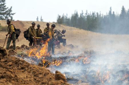
Border Patrol operation at wildfire in Washington state sparks criticism
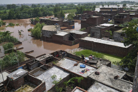
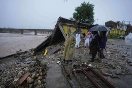
Floods displace nearly 250,000 people and affect 1.2 million in eastern Pakistan
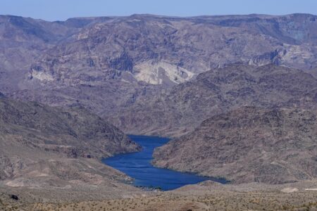
The Colorado River is in trouble. Some groups want the government to step up